Neighbours helping neighbours at the Comox Valley Food Bank
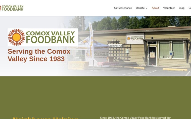
Since 1983 the food bank on McPhee Avenue has served households from Cook Creek to the Oyster River. Here is how to use it, donate food, or send your bottle refunds its way.
Since 1983 the food bank on McPhee Avenue has served households from Cook Creek to the Oyster River. Here is how to use it, donate food, or send your bottle refunds its way.
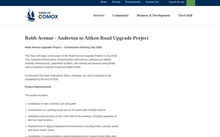
The Town’s upgrade between Anderton and Aitken roads — new mains, sidewalks, a parking bump-out and street trees — is under construction and is expected to wrap up by the end of 2026.
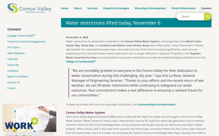
The regional district lifted water restrictions on November 6 for Courtenay, Comox and several rural systems, after rain began to refill the watersheds. Royston was slated to follow a week later.
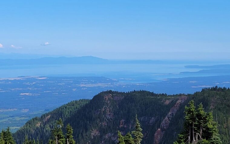
From the Strathcona Parkway above the Comox Valley, the view takes in farms, shoreline and mountains — at the edge of B.C.’s oldest provincial park.
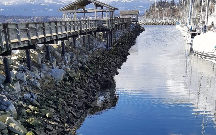
The Town of Comox keeps the municipal marina’s main dock open to the public on a daily schedule, a short stroll from Beaufort Avenue for watching boats in any season.
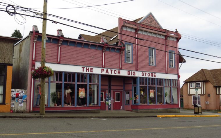
Cumberland’s historic main street sits at the edge of an extensive non-motorized trail network, starting in the Community Forest just southwest of the village core.
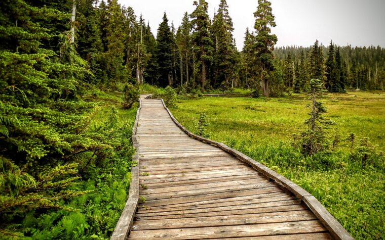
From Courtenay, exit 130 leads up the Strathcona Parkway to Paradise Meadows, an accessible subalpine corner of B.C.’s oldest provincial park.
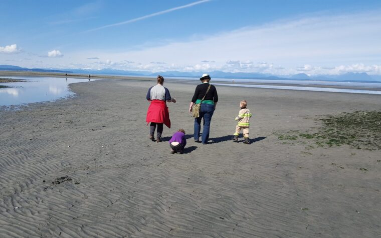
Halfway between Courtenay and Campbell River, Miracle Beach Provincial Park offers a broad sandy shore, short forest trails and tide pools at low tide.
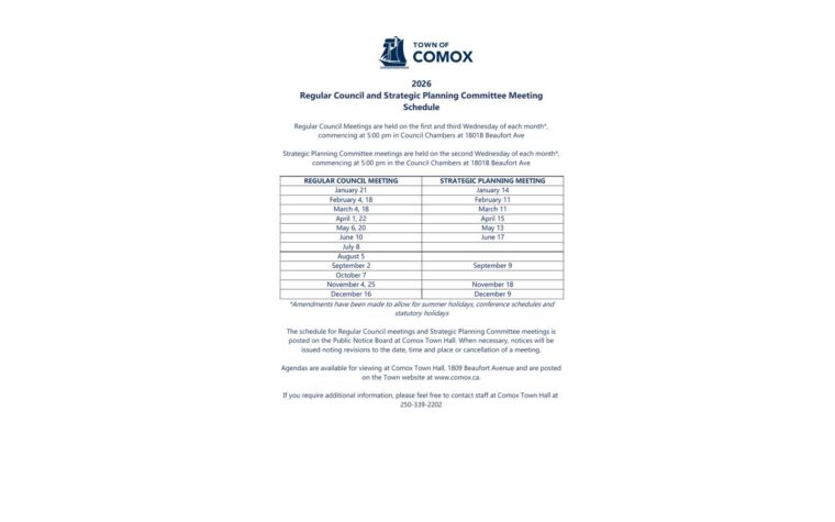
Comox’s official schedule lists a strategic planning meeting on November 18 and a regular council meeting on November 25, both at 5 p.m.
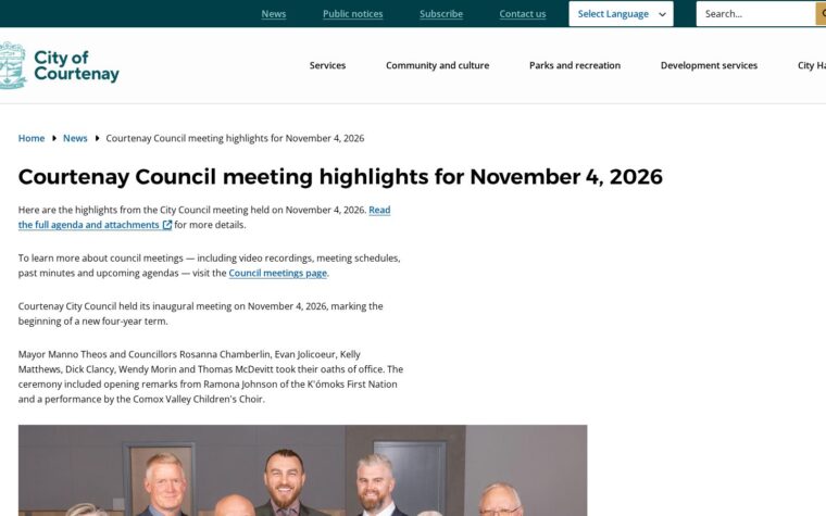
Courtenay’s new council was sworn in on November 4 and appointed representatives to 10 regional and city boards, commissions and committees.
Free weekly newsletter
One weekly email with local stories, events, the Island Quiz and our monthly giveaway. Free, and you can unsubscribe anytime.