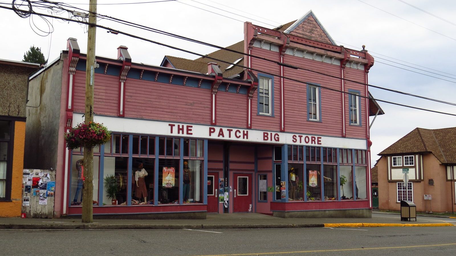
Cumberland is a compact historic village with an unusually large trail system just beyond the last shopfront. A walk down Dunsmuir Avenue still feels like a village main street — including landmarks such as The Patch, the big general store — and a few blocks later you are at the edge of the forest.
The Cumberland Trail Network, the Village says, is an extensive non-motorized, multi-use trail system shared by mountain bikers, hikers and trail runners of diverse ages and abilities. It includes the Cumberland Community Forest Park and Village watershed lands, where trails are managed by the Village, and private managed forest lands where trails are managed by the United Riders of Cumberland through a land-access agreement with forestry companies. The Village notes that the majority of the network is on private forest land, and that the entire network is in the territory of the Pentlatch and K’ómoks people, known collectively as the K’ómoks First Nation.
Start close to town
The trails closest to the Village are in the Community Forest Park and the Community Interface Zone. The Village’s parks page describes the Community Forest as a community park just southwest of the historic village commercial core, and as the gateway to Cumberland’s trail system. The South Wellington Colliery Railway Trail, bordering the south side of the village from the foot of Sixth Street to the foot of Second Street, is one official way toward that forest, the mountain-bike trail system and Coal Creek Historic Park.
Most trails in the park are designated multi-use, and users should be prepared to yield. Some trails are signed as Gravity Trails, where users are asked to yield to mountain-bike traffic, and some as Nature Trails, which the Village says are best enjoyed on foot. Pay attention to signage at trailhead kiosks. The network is also in a drinking-water supply area; the Village asks visitors to stay clear of creeks and lakes, stay on established roads and trails, and leave no trace. Swimming, including by pets, is not allowed in the watershed lakes.
To report a problem in a park, the Village asks residents to call 250-336-2291. Check the official parks and trail-network pages for closures before you go. As of a February 2, 2026 notice, still posted on the parks page, some trails including the Hai Gai Access Trail and Hai Gai Trail were closed after a January 30 flood, and the Coal Creek Historic Park disc golf course was closed because of flood damage.
Good to know
- The trail network is non-motorized and shared by cyclists, hikers and runners. Expect other users, especially close to the village.
- The South Wellington Colliery Railway Trail, from the foot of Sixth Street to Second Street, is an official link toward the Community Forest.
- Stay on established trails, keep pets under control, and stay clear of creeks and lakes in the watershed.
- Check the Village website for current closures before you go.
Photo: Mike from Vancouver, Canada, CC BY-SA 2.0, via Wikimedia Commons. The photograph shows The Patch, a landmark store in the village core.